 Oud-Beijerland





Sint Anthoniepolderroute(Saint Anthoniepolder Route)
Walking route of 8.2 km.
View the route on the map
Kaartgegevens © OpenStreetMap-bijdragers. De routegeometrie komt uit het lokaal opgeslagen GPX-bestand van de bron.
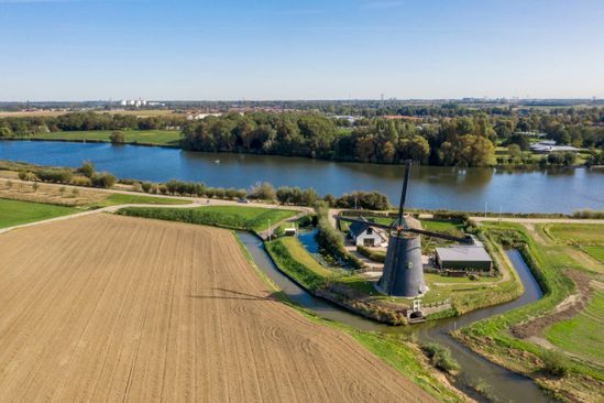
This route from Sint Anthonypolder is a beautiful walking route, which can also be cycled. The route passes the Binnendijkte Maas and many more waterways.The farm landscape is filled with historical farms and wide views. Dogs are welcome and may run loose in some areas.
The route has a very pleasant road surface and there are no height differences.Hence the route is suitable for anyone with a wheelchair, stroller or rollator, who wants to enjoy nature indefinitely. This route consequently contributes to a more inclusive and accessible society.This movement route is also on the Healthy Day out! map of Hoeksche Waard Active. Take a look at the website if you want to know more about this card.
Would you like to view the current source page, route map or additional information?
View the original page at Visit Hoeksche Waard ↗