 Oud-Beijerland




Wandelroute Haringvlietpad(Hiking trail Haringvlietpad)
Hiking trail of 117.6 km.
Interactive route map
Download GPX ↓View the route on the map
Kaartgegevens © OpenStreetMap-bijdragers. De routegeometrie komt uit het lokaal opgeslagen GPX-bestand van de bron.
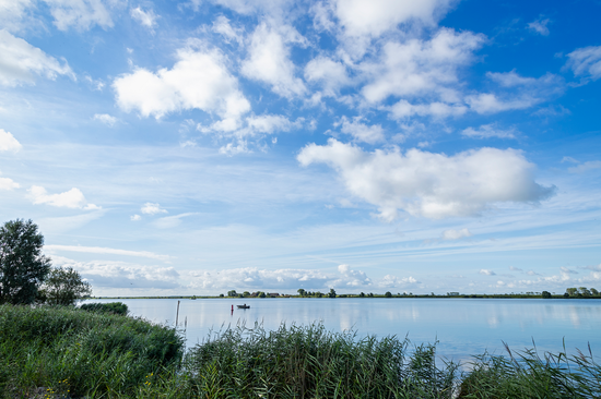
Haringvlietpad Hoeksche WaardIsland of polders, creeks and quiet ports Hoeksche Waard is the model of the damned deltaland: neatly pitched, open and wide, but cut with old creeks, dikes and harbor places. For centuries this was an island of agriculture and inland waterways.Now in more and more places the water and nature return, without the agricultural character disappearing.
Would you like to view the current source page, route map or additional information?
View the original page at Visit Hoeksche Waard ↗