 Oud-Beijerland





Watersnoodwandeling(Water emergency walk)
Walking route of 14.3 km.
View the route on the map
Kaartgegevens © OpenStreetMap-bijdragers. De routegeometrie komt uit het lokaal opgeslagen GPX-bestand van de bron.
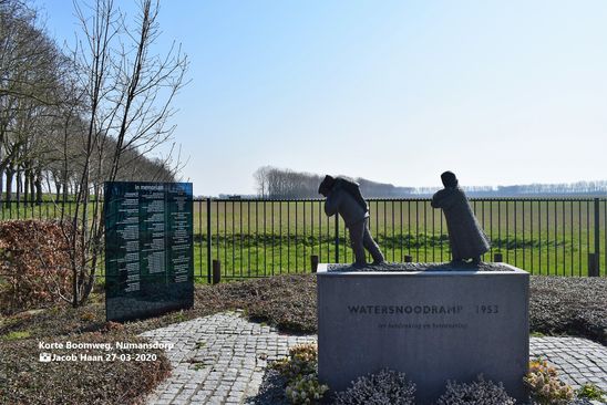
This route leads you through part of the Crafts glory of Numansdorp.You start and finish at the manure silo on the Lange Boomweg and you pass, among other things, Cromstrijen and the monument for the flood in 1953.
.For some points on this route, a sound recording is available from guide Dick Holster, so you get an image of what has happened here.These recordings can be listened to via the button at each stop. Interesting to listen while walking!
Record 1: starting point at the Manure Silo
Recording 2:the meal, the bird cage, the dike and what happened in 1953
Recording 3: the water monument 1953
Would you like to view the current source page, route map or additional information?
View the original page at Visit Hoeksche Waard ↗