 Oud-Beijerland





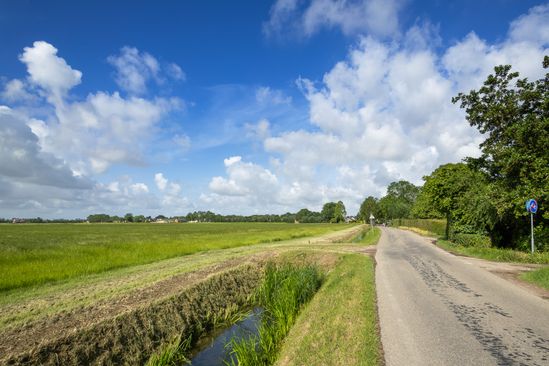
Munnikenweg(Munnikenweg)
9 3273 LG Westmaas
Location
View on the map
Map data © OpenStreetMap contributors. The location coordinates are stored from the source page.
The Munnikenweg takes you to the polder the Munnikenland of Westmaas. The Kartuizer monks not only built the village church of Westmaas, but they also extracted the polders around the village.After the massive flood of 1421 known as "Sint-Elisabethslood', Munnikenland was a marshy plain. The Cardinals poldered this plain in 1439.So they could use the fertile clay soil to grow crops. The Munnikenweg was the route the monks used to reach their lands. It was literally the way of the monks.
Would you like to view the current source page, map or additional information?
View the original article at Visit Hoeksche Waard ↗