 Oud-Beijerland




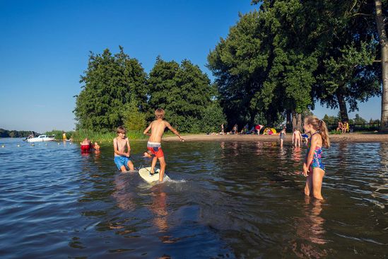
Strandje Westmaas(Westmaas beach)
LG, Munnikenweg Westmaas
Location
View on the map
Map data © OpenStreetMap contributors. The location coordinates are stored from the source page.
At the beginning of the parking lot there is a water tap point. Here you can fill your water bottle with fresh tap water for free. Then you pass a small sandy beach and a lawn.From here you have a good view over the water of the Binnenbedijkte Maas, which is also called Binnenmaas.The Binnenmaas is no longer a river, because it was closed by dams on both sides in the Middle Ages. As a result, no river water flows through and it is now a closed lake within the polder.
Would you like to view the current source page, map or additional information?
View the original article at Visit Hoeksche Waard ↗