 Oud-Beijerland





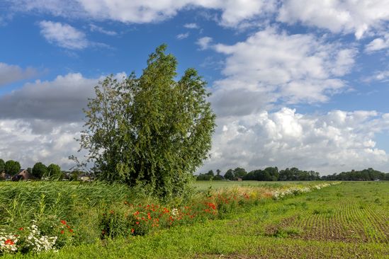
Boerenlandpad(Farmland path)
Munnikendijk 65 3273 LD Westmaas
Location
View on the map
Map data © OpenStreetMap contributors. The location coordinates are stored from the source page.
Be careful, because on the Munnikendijk the route suddenly goes to the right, so into the polder. Here is a farmer who has made a piece of his land available for walking.The country path runs along the small ditches dug by the Kartuizer monks. The Binnendijkte Maas and all the locks and locks in the polder are connected to each other to drain the water.Water from the polder runs through ditches to larger locks. These locks lead to main watercourses (trails). And then this water is discharged onto the Inner Dike Meuse.
Would you like to view the current source page, map or additional information?
View the original article at Visit Hoeksche Waard ↗