 Oud-Beijerland





Munnikendijk(Munnikendijk)
56 3273 LE Westmaas
View on the map
Map data © OpenStreetMap contributors. The location coordinates are stored from the source page.
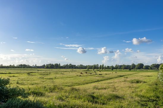
This dike also owes its name to the Carthusian monks. This dike gives if you look to the right a good view over the polder the Munnikenland.The straight plot limits and the regular parceling pattern in this polder show that the monks liked to work in order.To the left of the dike is polder the Oudeland van Strijen, which subsequently passes to Westmaas Nieuwlandsche Polder.The Old Land of Strijen was reclaimed in 1437 after the Sint-Elisabeth flood (1421/22) had destroyed the entire area.The Westmaas Nieuwlandsche Polder was not duked until 1539, during the great dam wave in the 16th century.
Would you like to view the current source page, map or additional information?
View the original article at Visit Hoeksche Waard ↗